Innovation & AI Powered Solutions
For Enhanced Decision-Making
Explore our state-of-the-art solution platforms
Collect • Interpret • Optimize


With our advanced AI-driven solutions, data collection and interpretation become effortless tasks. Using the best of AI and ML, at Azure Clouds we craft solutions that are user-friendly and enquire minimal to no training. What sets us apart is our commitment to developing solution platforms based on real end-user feedback, ensuring that every aspect is optimized to suit your preferences.
We understand that cost-effectiveness is paramount, and that’s why our mission is not just to offer solutions, but to deliver solutions that are within your reach at competitive price points. Our agile and proficient teams quickly absorb and assimilate your needs, ensuring a smooth and efficient process from concept to implementation.
Azure Platforms
productive workflow experience
1. AI-Powered POI Collection
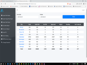
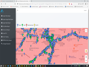
Azure Systems utilize advanced AI technology for object identification, recognition, and validation, offering a higher level of accuracy and precision.
1. AI-Powered POI Collection
Azure Systems utilize advanced AI technology for object identification, recognition, and validation, offering a higher level of accuracy and precision.
-
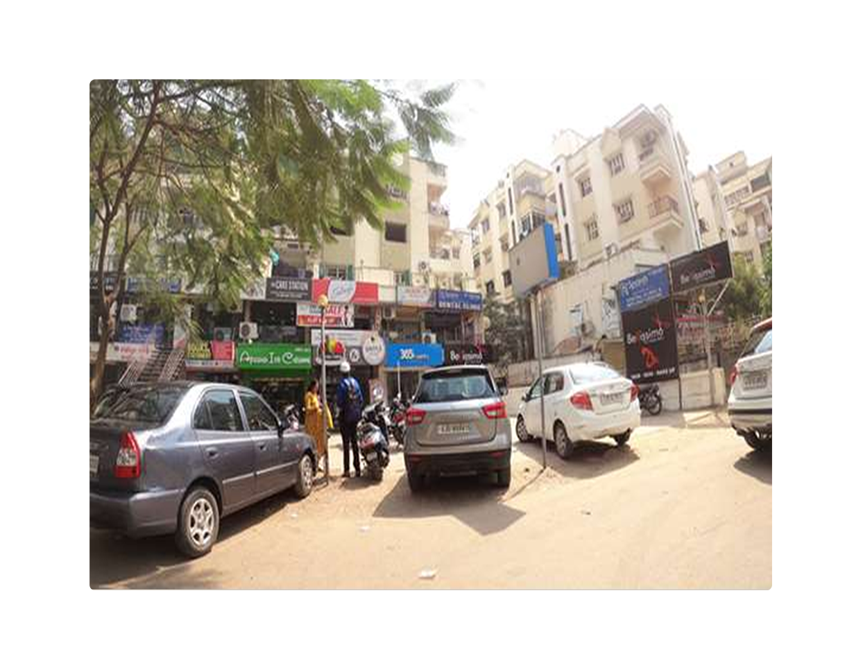
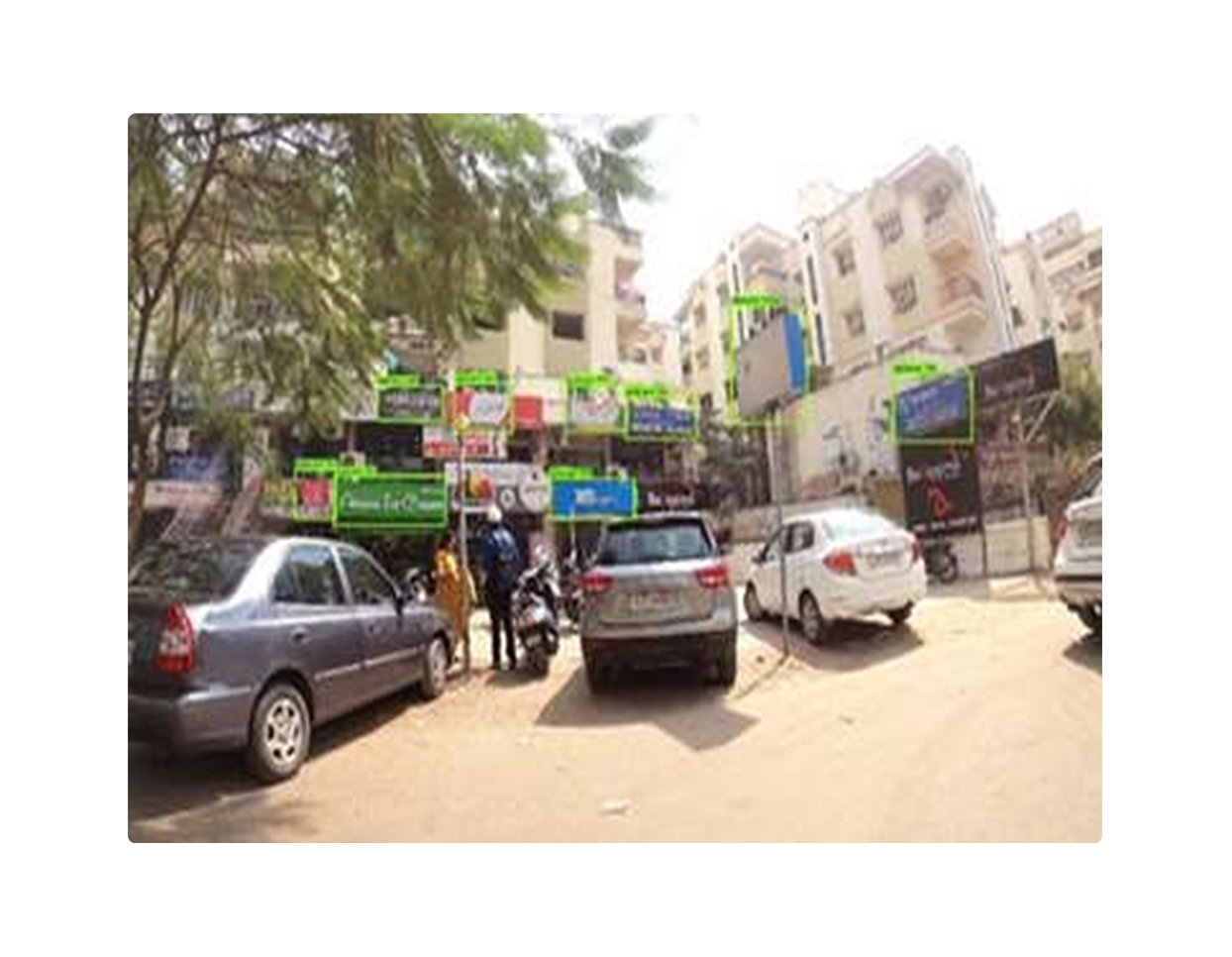
- We have developed our systems by training them on a diverse dataset consisting of verified POI (Point of Interest) images as well as negative images. This meticulous training process has significantly enhanced our validation capabilities, ensuring reliable and accurate results.
- Azure’s machine learning-based systems provide images of POIs meeting specific parameters (e.g., signboards, registration plates, or human faces), enhancing data processing productivity and efficiency.
-
- Our POI collection solution is designed to be easily mounted on standard vehicles, facilitating seamless integration and enabling efficient data acquisition in diverse environments.
2. Manual Poi Collection Platform
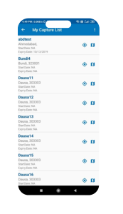
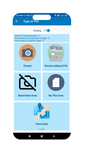
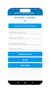
Azure Clouds’ Manual POI Collection Platform offers a user-friendly interface designed for seamless POI data gathering.

-
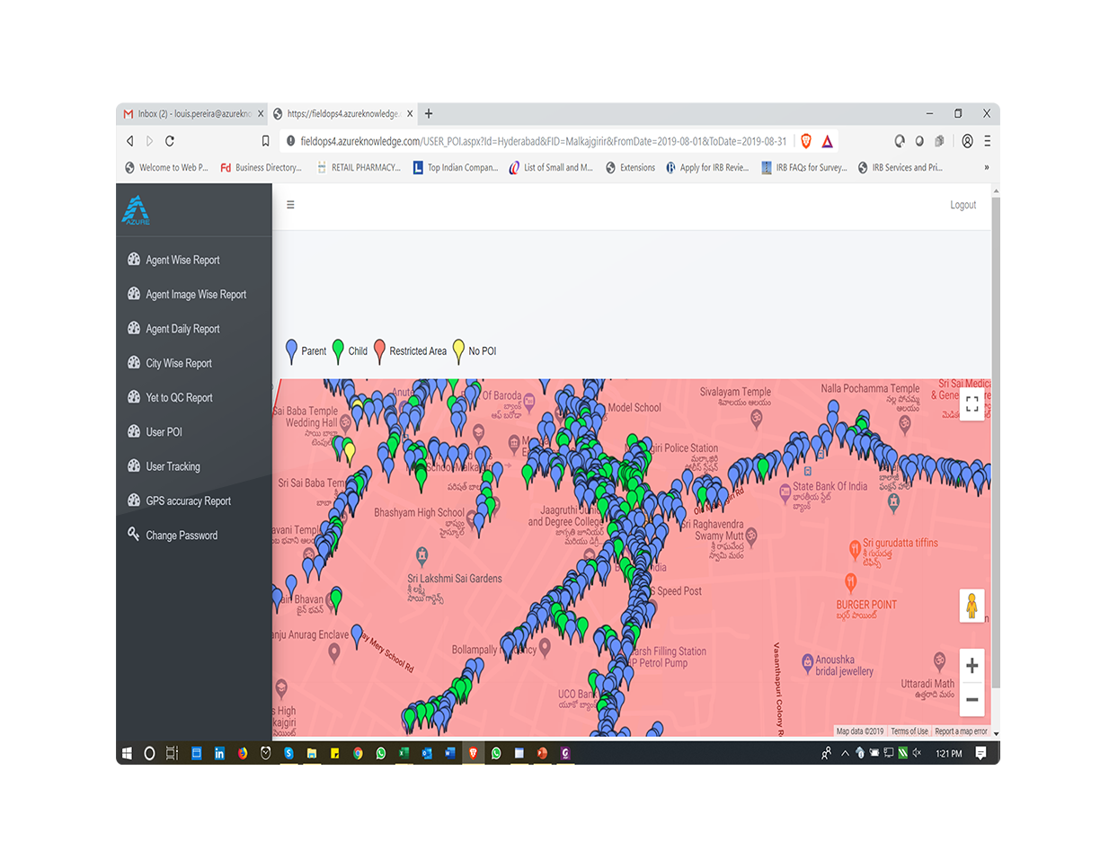
- Our Manual POI collection platform offers geo-fenced work allocation for efficient task assignment, live tracking of gig workers for real-time visibility, and device encryption for data security.
- The platform seamlessly synchronizes with Azure servers, ensuring the utmost data integrity. Additionally, it provides an automatic image deletion feature upon synchronization, further enhancing data security.
-
- Moreover, it facilitates the creation of ad hoc volume-based teams in various cities, including Tier 2 and Tier 3 cities.
3. POST PROCESSING PLATFORM
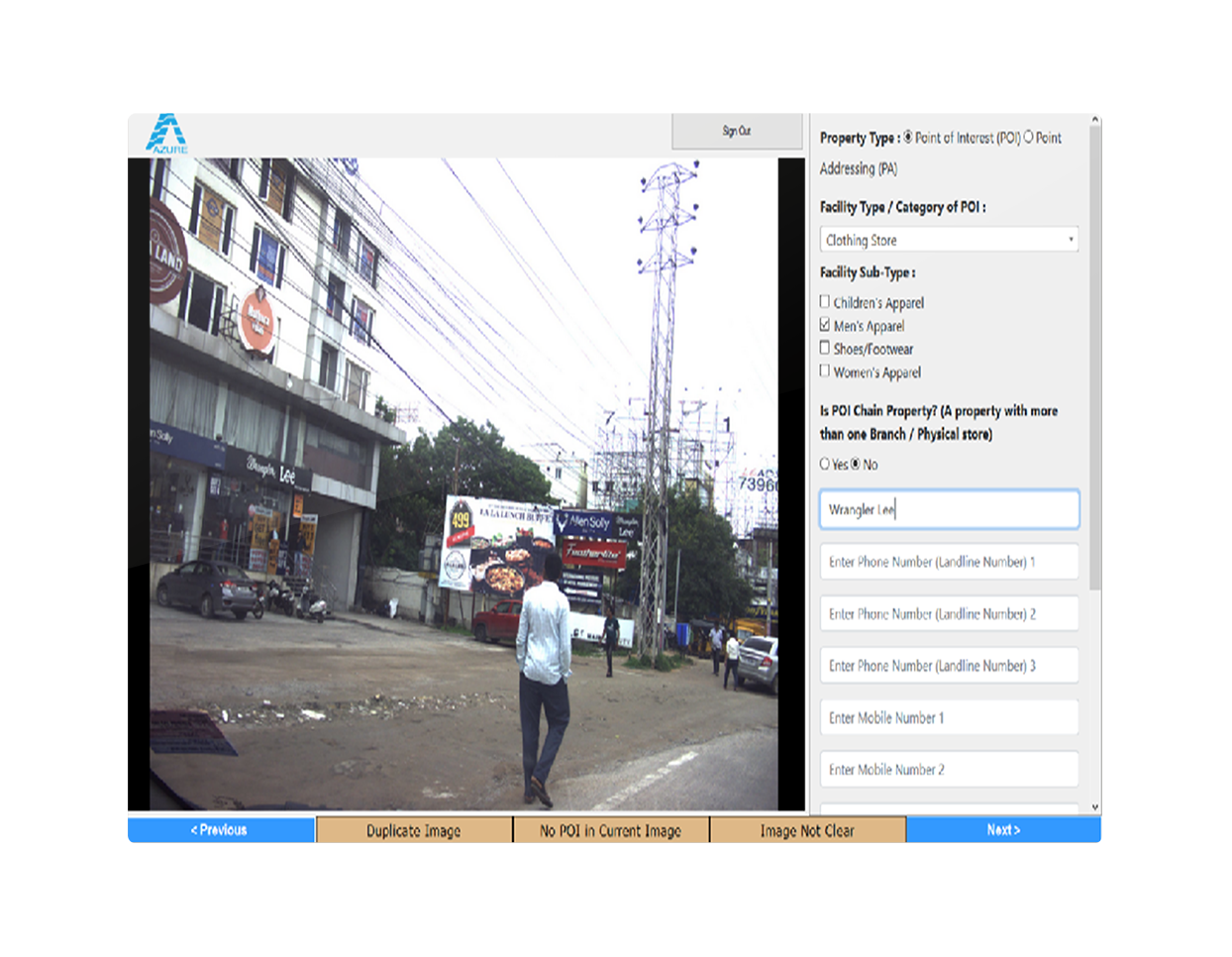
Azure’s Post Processing platform leverages advanced technologies to streamline and optimize the post-processing workflow.
-
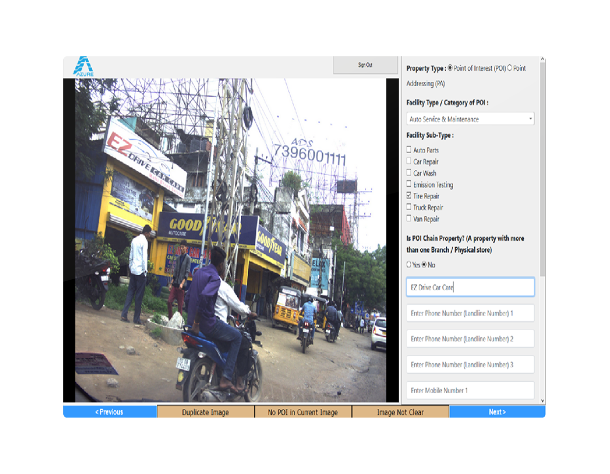
- This platform empowers teams with increased productivity by providing a dynamic library of frequently used words that can be easily edited and updated whenever necessary.
- With speech-to-text capability, the platform enables efficient data entry by converting spoken words into text. Additionally, a spell check feature with suggestions helps reduce spelling errors, ensuring data accuracy.
-
- Our platform incorporates a smart duplicate POI check feature, which intelligently identifies potential duplicates within a 500-meter radius. By doing so, we prevent redundancy and significantly improve the overall quality of your data.
- Standardization is a key aspect of this platform, ensuring consistency and uniformity in the post-processing procedures, leading to improved data reliability.
4. Azureport - Automated Report Service
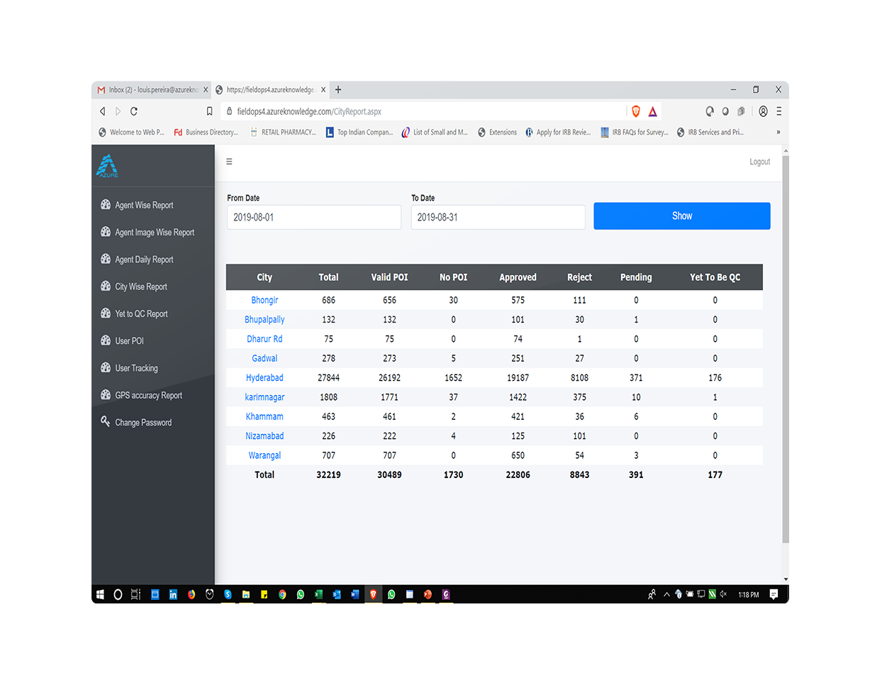
Minimize errors, save time, and ensure consistency in your reporting workflow with Azureport. Eliminate the risk of missing statistics or formatting errors that can occur with manual report creation.
Azureport’s automation service streamlines the process, allowing you to focus on valuable insights.
Features
-
- Azureport offers flexible data input, allowing you to import data in various formats such as Excel, CSV, SPSS, and ASCII.
- This platform seamlessly extracts data from multiple tables, consolidating information from diverse sources to create comprehensive reports. By integrating statistical testing directly into your slides, we simplify the process of accurate analysis.
- It ensures consistent formatting, maintaining font size, family, colour, and background as defined in your template or data file. With automated content insertion, you can easily insert images, shapes, and tables based on predefined rules.
- Effortlessly customize the automation process with logic tailored to specific data points in your file. Our software supports all PowerPoint chart types, providing a wide range of options to create crisp and compelling visual representations.
Benefits
Our tracker study provides efficient data handling solutions and streamlines repetitive reporting, simplifying the production process. With our services, you can receive comprehensive insights by the start of the next business day, ensuring faster delivery. Moreover, we significantly reduce turnaround time, completing client requests within 2-3 hours instead of the previous 5-7 days. This saves valuable time and optimizes resource allocation.1. PGLAB
Smart GIS-Based Property and Tax Administration System
With the rise of smart technologies, governments globally are focusing on implementing innovative solutions to better serve their citizens. A fundamental aspect of this effort is equipping local governing bodies with tools to function efficiently, transparently, and foster effective engagement with the community. GIS-driven property and taxation systems have emerged as powerful tools to boost accountability and significantly enhance revenue collection for local authorities. These systems provide Urban Local Bodies (ULBs) with precise property data categorized by tax classifications such as residential, commercial, or industrial. They also offer a holistic view of revenue streams, ensuring optimized resource management and improved financial oversight.
Property Geo Register
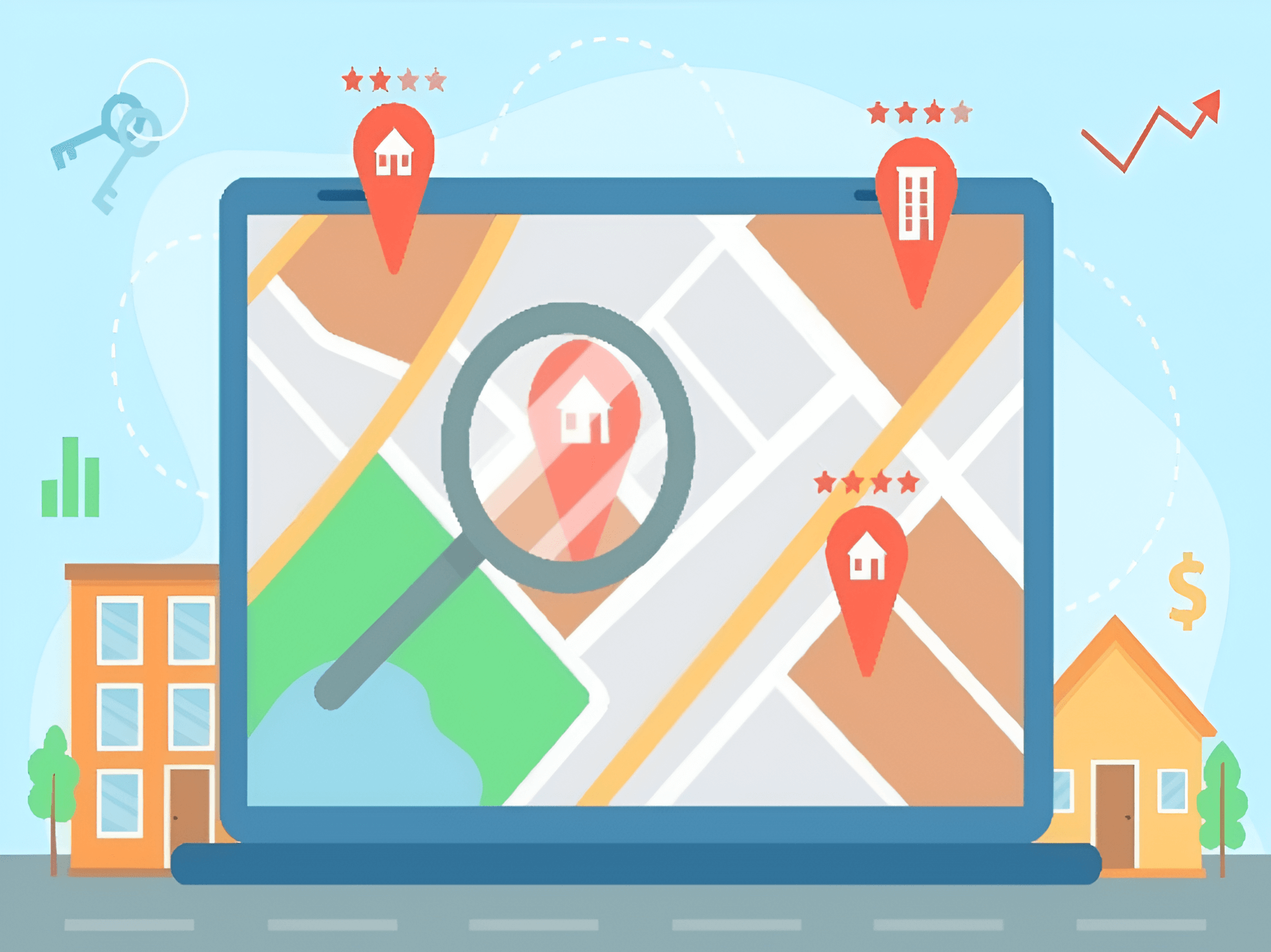
- A Smart GIS Map Viewer enables users to visually analyse property data through interactive maps, providing a powerful tool for urban planners, tax assessors, and local authorities. By integrating detailed geographical data, the map viewer allows users to explore properties in various tax categories—residential, commercial, or industrial—overlaying them with relevant data such as ownership, tax status, and usage patterns. This tool offers dynamic zooming, layering, and filtering capabilities, allowing users to gain in-depth insights into property distribution, potential revenue streams, and areas requiring attention. With real-time updates and seamless integration with property records, the GIS Map Viewer helps optimize decision-making, improve assessments, and ensure more accurate tax evaluations and urban planning.
Mobile-Based GIS-Enabled Door-to-Door Survey
- Revolutionizes property data collection by combining cutting-edge technology with field-level efficiency. Surveyors use mobile devices integrated with GIS to collect real-time, geotagged property details directly from the field. This approach ensures comprehensive coverage, accurate mapping, and instant data synchronization with centralized systems. By eliminating manual errors and streamlining the collection process, it lays a strong foundation for transparent property assessments and effective tax management. The mobile interface is user-friendly, empowering surveyors to capture precise information, including property dimensions, usage type, and ownership details, making governance smarter and more accountable.
Online Web-Based Data Validation System
- offers a robust platform for verifying and cross-checking property information against official records and uploaded documents. This system streamlines the validation process by allowing officials to access, compare, and verify data through an intuitive, web-enabled interface. Using reference documents like ownership deeds, utility bills, or prior tax records, the platform ensures accuracy by identifying discrepancies, duplications, or incomplete information. Advanced features like automated data matching, GIS integration, and error-flagging provide a seamless validation workflow. The system not only enhances efficiency but also boosts transparency, enabling Urban Local Bodies to maintain reliable and up-to-date property records.
Automated Taxation and Bill Generation
- It is a key feature of the GIS-based property management system that streamlines the entire billing process for local governments. This system automatically calculates property taxes based on predefined tax slabs and property classifications, such as residential, commercial, or industrial, pulling data from validated property records. Once the tax assessment is complete, the platform generates accurate, real-time bills for property owners, which are immediately available through an online portal. This automated process reduces manual errors, ensures timely bill generation, and improves collection rates by offering users convenient online payment options. By automating taxation and billing, local authorities can focus on revenue optimization while ensuring transparency and consistency.
Smart Dashboard
- It is for various levels of officers offers a centralized, intuitive platform that tailors data access and insights to the needs of each user role. Local administrators can monitor overall revenue collection and property assessments, while field officers can track the progress of surveys and validate data in real-time. Senior officials gain high-level insights into operational performance and compliance, aiding in strategic decision-making. With customizable views, real-time updates, and easy-to-access reports, the dashboard enhances transparency, improves efficiency, and ensures that all levels of governance are equipped with the data they need to optimize tax management and revenue collection.




2. AgronomIQ
Farmint
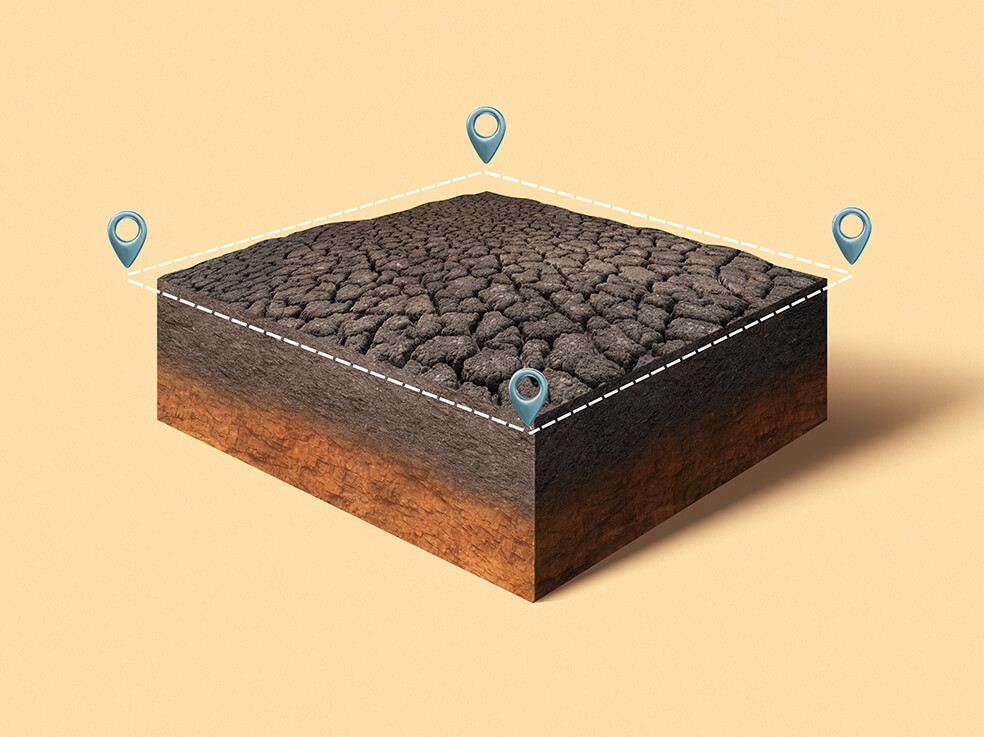
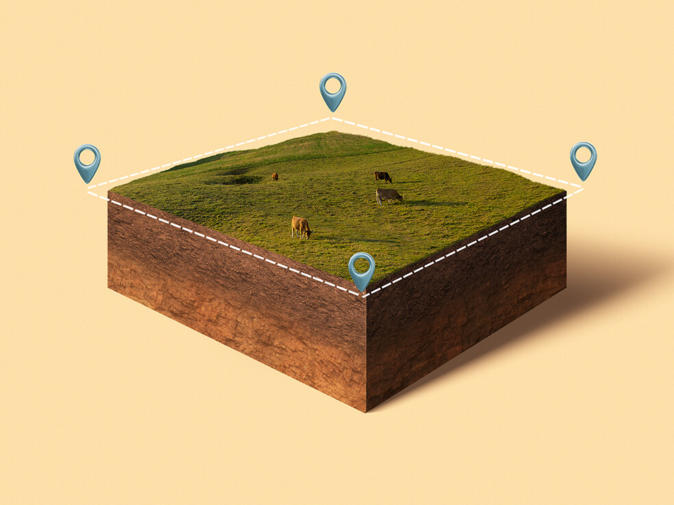
Mobile and Web Applications for Field: The platform offers a mobile application to efficiently manage field staff with geo-fencing audits, streamline farmer data collection, and collect crop signatures to train the Agri-models. This enables seamless coordination and resource allocation in field operations. The mobile app seamlessly integrates with the web to facilitate storage analysis, dashboarding, and dissemination of advisories for timely crop management interventions and generating alerts on perils.-
Farmont
- Crop Health Monitoring: From sowing to harvest, the platform provides comprehensive crop health monitoring utilizing advanced AI/ML algorithms. Farmers can take proactive measures to safeguard their crops and maximize yields by detecting crop stress incidences, diseases, pests, and nutrient deficiencies in real-time. The platform will report crop sowing progress, acreage, and mid-season adversities at the parcel level. Prevented sowing with duration, extent, and cause will be reported for each field.
- Satellite Data Analysis for Yield Estimation: By harnessing the spectral resolution of satellite imageries and advanced data analysis techniques, our platform will provide precise estimates of crop yields for every farm. Each pixel of the satellite imagery will be assigned yield values, allowing for the identification of intra-field variability. This data-driven approach will empower stakeholders to make informed decisions regarding crop planning, resource allocation, and market forecasting.
- Predictive Models for Pest and Disease Forecasting: The platform seamlessly integrates predictive models powered by AI/ML algorithms to forecast perils by analyzing weather parameters, and detecting conditions conducive to the onset of pest and disease events. Farmers can implement timely interventions by anticipating potential threats, effectively reducing crop losses and enhancing productivity.
-
Farmact
- Advisory to farmers: AgronomIQ platform will generate advisory by harnessing data-driven insights, predictive analytics, and personalized recommendations to empower them with the knowledge and tools needed to optimize their agricultural practices and improve productivity. The advisory will be delivered through various channels, including mobile apps, SMS alerts, web portals, etc. In conclusion, the AgronomIQ Platform will represent a transformative solution poised to address the evolving needs of the Indian agricultural industry. By harnessing the power of advanced technologies, the platform empowers stakeholders to access crop intelligence for individual farms to navigate challenges, optimize operations, and unlock new opportunities for growth and sustainability.
-
Farmrisk
- Crop risk modeling and rating – Farmrisk caters to the needs of agri-insurance and banking sectors by offering crop risk modeling and rating, providing farm-level risk scores, real-time farm loss monitoring, insurance pricing support, preventive crop sowing analysis and validation, ensuring precise risk assessment and informed decision-making at parcel level.


3. AI-Powered POI Collection
Azure Systems utilize advanced AI technology for object identification, recognition, and validation, offering a higher level of accuracy and precision.
-
- We have developed our systems by training them on a diverse dataset consisting of verified POI (Point of Interest) images as well as negative images. This meticulous training process has significantly enhanced our validation capabilities, ensuring reliable and accurate results.
- Azure’s machine learning-based systems provide images of POIs meeting specific parameters (e.g., signboards, registration plates, or human faces), enhancing data processing productivity and efficiency.
- Our POI collection solution is designed to be easily mounted on standard vehicles, facilitating seamless integration and enabling efficient data acquisition in diverse environments.


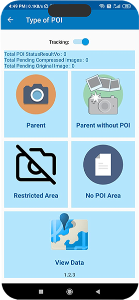
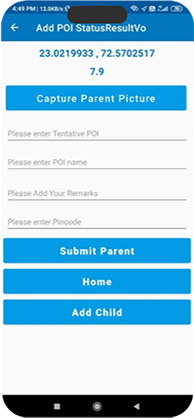
4. Manual Poi Collection Platform
-
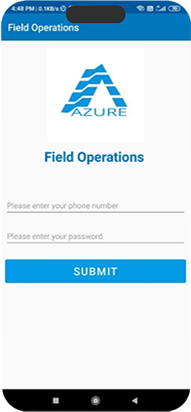
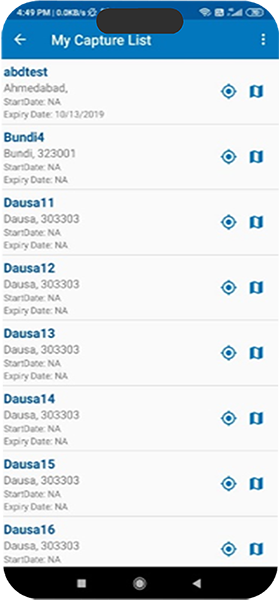
- Our Manual POI collection platform offers geo-fenced work allocation for efficient task assignment, live tracking of gig workers for real-time visibility, and device encryption for data security.
- Azure’s machine learning-based systems provide images of POIs meeting specific parameters (e.g., signboards, registration plates, or human faces), enhancing data processing productivity and efficiency.
- Moreover, it facilitates the creation of ad hoc volume-based teams in various cities, including Tier 2 and Tier 3 cities.
5. POST PROCESSING PLATFORM
-
- This platform empowers teams with increased productivity by providing a dynamic library of frequently used words that can be easily edited and updated whenever necessary.
- With speech-to-text capability, the platform enables efficient data entry by converting spoken words into text. Additionally, a spell check feature with suggestions helps reduce spelling errors, ensuring data accuracy.
- Our platform incorporates a smart duplicate POI check feature, which intelligently identifies potential duplicates within a 500-meter radius. By doing so, we prevent redundancy and significantly improve the overall quality of your data.
- Standardization is a key aspect of this platform, ensuring consistency and uniformity in the post-processing procedures, leading to improved data reliability.


6. Azureport - Automated Report Service
-
- Azureport offers flexible data input, allowing you to import data in various formats such as Excel, CSV, SPSS, and ASCII.
- This platform seamlessly extracts data from multiple tables, consolidating information from diverse sources to create comprehensive reports. By integrating statistical testing directly into your slides, we simplify the process of accurate analysis.
- It ensures consistent formatting, maintaining font size, family, colour, and background as defined in your template or data file. With automated content insertion, you can easily insert images, shapes, and tables based on predefined rules.
- Effortlessly customize the automation process with logic tailored to specific data points in your file. Our software supports all PowerPoint chart types, providing a wide range of options to create crisp and compelling visual representations.
Benefits
Our tracker study provides efficient data handling solutions and streamlines repetitive reporting, simplifying the production process. With our services, you can receive comprehensive insights by the start of the next business day, ensuring faster delivery. Moreover, we significantly reduce turnaround time, completing client requests within 2-3 hours instead of the previous 5-7 days. This saves valuable time and optimizes resource allocation.
Features


Accurate • Precise • Insightful

01
Accurate Multilingual Transliteration for Localized Interpretation of POIs
Our dedicated local expert teams excel at transliterating map language with precision, ensuring accurate interpretation of POIs across various regions for localization purposes.
02
Seamless Navigation with Customized Fleets for Local Terrains
Our customized fleets deliver precise distance accuracy for road network tracing and POI processing, enabling seamless navigation across various local terrains.
03
Enhanced Visibility through Realtime Dashboards for Post Processing
Discover enhanced visibility and real-time insights with our Azure Meta-Tagging Platform's monitoring dashboard. Track agent productivity, drive-wise conversion ratio, and real-time conversions for optimal performance.
Providing Reliable And Effective Solutions: Optimizing
Workflow And Enhancing Efficiency


